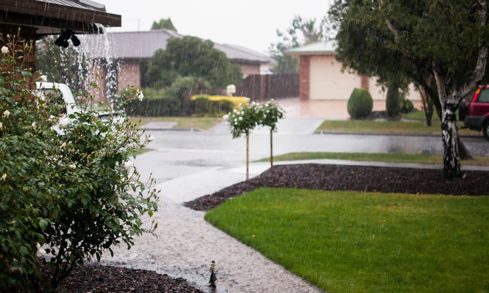
Heavy rain recently swept across Boston, and many neighborhoods felt the impact right away. Streets filled up, yards turned soggy, and water showed up in places people had never seen before. Because of this, many property owners started asking a simple but important question: Is my land actually safe? At the same time, surveying companies began seeing a clear rise in calls. Homeowners, buyers, and developers all want answers. They don’t want to guess anymore. Instead, they want to understand what is really happening on their property—especially how their land handles water when heavy rain hits.
What the Recent Boston Rain Revealed
After a storm like this, problems don’t stay hidden. In fact, heavy rain acts like a test for your land. It shows how water moves, where it collects, and what areas are at risk.
For many people, the results came as a surprise. A yard that looked fine before suddenly held water for hours. A driveway that used to drain well now pushed water toward the home. Even small slopes became a big issue once the ground got saturated.
Because of this, many Boston property owners realized that what they see on a dry day does not tell the full story. Instead, the real behavior of the land shows up during extreme weather.
Why Surveying Companies Are Getting More Calls Right Now
As soon as the rain passed, concern started to grow. People noticed changes, and they wanted clear answers. That is why surveying companies are now getting more calls than usual. For many homeowners, the next step is to turn to local surveying companies to better understand what changed after the storm.
Many homeowners now worry about water pooling near their foundation. At the same time, buyers want to make sure they are not stepping into a hidden problem. Developers also want to avoid costly mistakes before starting a project.
Because of this shift, people are no longer relying on assumptions or old records. Instead, they want real data that shows how their property behaves under stress. That is exactly where surveying companies come in.
What Flooding Can Reveal About Your Property
Heavy rain does more than create temporary inconvenience. It also uncovers issues that often go unnoticed during normal weather.
For example, water may flow across property lines without you realizing it. What looks like your problem might actually come from a neighboring lot. Without clear information, it becomes hard to fix or even explain.
At the same time, unclear property boundaries can add to the confusion. Fences, landscaping, and driveways may not sit where people think they do. When water starts moving through these areas, small mistakes can turn into bigger issues.
In addition, low spots in a yard often stay hidden until heavy rain hits. These areas collect water and can lead to long-term drainage problems. Structures like patios, sheds, and even parts of a home may also sit in risk-prone zones without the owner knowing.
Because of all this, many people begin to realize that their current understanding of their land may not be complete.
How Surveying Companies Help You Understand Your Land
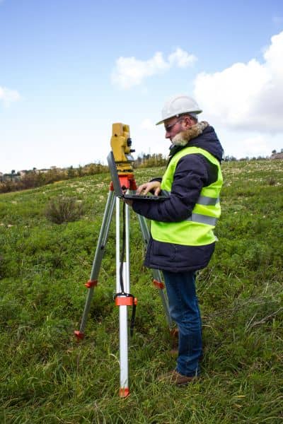
When problems show up, guessing does not help. Instead, you need clear and accurate information. This is where surveying companies play an important role.
They help property owners see the true shape and layout of their land. Rather than relying on rough ideas, you get detailed data that shows elevation, slope, and exact boundaries.
This information makes a big difference. Once you understand how your land is shaped, you can see why water flows the way it does. You can also spot areas that need improvement before they turn into bigger problems.
Because of this, many Boston property owners now turn to surveying companies after heavy rain. They want clarity, and they want to make smart decisions moving forward.
Why This Matters for Boston Property Owners
Boston has many older neighborhoods, and that adds another layer of complexity. Lots are often tight, and the land can vary from one property to the next. Even small changes in elevation can create big drainage issues.
At the same time, many properties have gone through updates over the years. New driveways, added structures, and landscaping changes can all affect how water moves. Because of this, the original layout of the land may no longer match current conditions.
As a result, what worked before may not work now. That is why recent storms are pushing more people to take a closer look at their property.
What You Can Do After a Storm Like This
After heavy rain, it helps to pay attention to what your property is showing you. Look at where water collects and how long it stays. Notice if anything feels different from before.
If something seems off, it may be time to take the next step. Reaching out to surveying companies can give you a clear understanding of your land. With the right information, you can plan improvements, avoid costly mistakes, and protect your property.
Final Thoughts
Boston’s recent heavy rain did more than cause short-term problems. It revealed how land behaves under pressure. For many property owners, it was a wake-up call.
Because of this, more people are now turning to surveying companies for answers. They want to understand their property, not just guess about it.
In the end, knowing your land is one of the best ways to protect it. When you understand how water moves and where risks exist, you can make better choices for the future.