Drone Surveying: A Guide for Property Owners

Boston is a city full of character — from historic brownstones in Beacon Hill to new buildings along the Seaport. If you’re planning a renovation, managing a construction site, or mapping land for development, you need accurate information. That’s where drone surveying comes in. Instead of only using ground crews with measuring tools, licensed surveyors […]
New Home? Here’s How to Get Your Elevation Certificate Fast
Buying a new home in Boston is exciting. You finally have your own place in one of the most historic cities in the country. But if your property is in a flood-prone area such as near the Charles River, Boston Harbor, or low-lying neighborhoods, there’s one thing you need to handle right away: getting your […]
Why You Might Need a Topographic Survey for Your Property
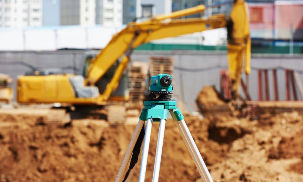
If you’re planning to build or make changes to your land, getting a topographic survey could save you a lot of trouble — and money. Whether you’re working on a new home in Roslindale, planning a renovation in East Boston, or developing property near the water in the Seaport District, a topographic survey gives you […]