In Boston, property lines can get messy fast. Homes sit close together, fences often run right to the edge, and every inch of land counts. Lately, more homeowners have been trying to settle property questions with quick screenshots or Google Earth images. But a recent Massachusetts court ruling just made one thing clear: only a boundary line survey can truly prove where your land begins and ends.
The Case That Sparked the Wake-Up Call
A recent decision covered by Massachusetts Lawyers Weekly has given property owners across the state something to think about. In that case, one party brought printed satellite images to court as “proof” of where a property line supposedly sat. The judge didn’t buy it.
The court ruled that satellite or Google Earth photos can’t be accepted as legal evidence without full “authentication.” That means the image must show exactly when it was taken, where it came from, and that it hasn’t been altered. Most screenshots can’t meet that standard. The lesson? A smartphone photo might be useful, but it isn’t legally solid. Only a professional surveyor can mark, measure, and certify your true boundaries.
Why Pictures Aren’t Proof
Photos seem simple, but they hide a lot of guesswork. A slight camera tilt or a different zoom level can shift distances by feet, not inches. Even GPS stamps on phone images aren’t accurate enough to defend in a legal dispute or city hearing.
Think about Boston’s older neighborhoods—Charlestown, Dorchester, Jamaica Plain—where lot lines date back a century. A few inches of error could mean part of your wall or fence ends up on a neighbor’s property. If that disagreement goes to court, your photo means little without certified survey data behind it.
What a Boundary Line Survey Does Differently
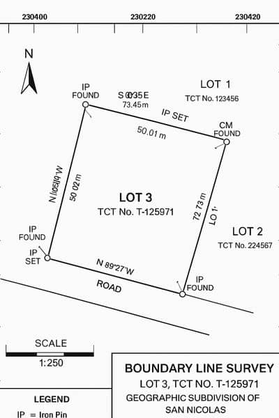
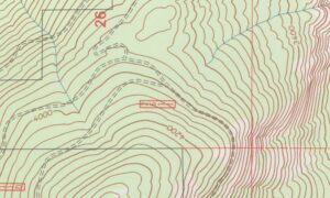
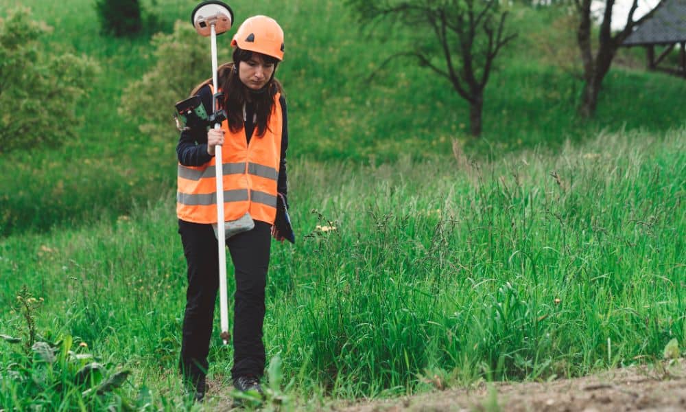
A boundary line survey doesn’t rely on what’s visible; it verifies what’s recorded. A licensed land surveyor researches old deeds, subdivision maps, and prior surveys. They locate physical monuments—like iron pins, granite posts, or stone walls—and measure them using modern instruments.
The result is a signed, stamped plan that shows your property’s true limits. This document holds up in city permit offices and even in court because it’s backed by verifiable data, not assumptions. It’s the difference between a picture of your land and proof of it.
How the Ruling Affects Boston Property Owners
Boston’s building and zoning boards already lean on accuracy. When homeowners submit permit applications for fences, decks, or additions, officials often ask for a certified plot or boundary plan. After this ruling, expect that requirement to tighten even more.
If you’re planning to work near a lot line, your survey plan—not your photo—will be what the city checks. The same goes for neighbor disagreements. Bringing a boundary line survey into the conversation replaces arguments with facts. It also shows good faith: you took the time to verify, not assume.
When Photos Still Help
That doesn’t mean you should toss your phone. Photos can support your case when used the right way. They help document conditions before and after construction or record visible features like old fences or stone walls.
When you hire a surveyor, share those pictures. They help locate possible boundary markers faster, saving field time and cost. A good surveyor can combine your visuals with field data, producing a clearer, stronger final map. In other words, pictures are helpful—but only as part of the process, not the final word.
Real-World Boston Examples
1. The Fence Feud in South Boston Two neighbors used a printed Google map to argue over a fence placement. Once a licensed surveyor got involved, it turned out the fence had been set a foot over the true line. The new survey settled the issue quickly and prevented court costs.
2. The Rear-Lot Addition in Jamaica Plain A homeowner submitted aerial photos with their building permit to show setbacks. The city rejected them, asking for a certified survey. Once the homeowner provided it, the project sailed through approval.
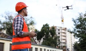
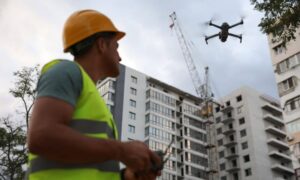
3. The Developer’s Drone Misstep A small developer relied on drone imagery to mark corners for a new duplex. Later, a boundary line survey revealed the drone coordinates were off by nearly two feet, forcing re-staking and delay. That’s an expensive reminder that aerial data alone isn’t precise enough for legal work.
What This Means for You
If you own property —or plan to buy, build, or subdivide—it’s time to take surveying seriously. The court’s decision confirms what professionals already knew: boundaries belong to the experts who can measure them, not the cameras that can only show them.
Here’s the mindset shift:
- Use photos to illustrate your property’s story.
- Use a boundary line survey to define its facts.
This approach keeps your project on solid legal ground and protects you if questions ever arise later.
Final Thoughts
Technology makes it easy to believe that everything can be solved with an app or a screenshot. But when it comes to land, precision still wins. A smartphone photo might capture what you see—yet boundary line surveys confirm what you own.
Boston’s latest legal wake-up call proves that relying on imagery alone is risky. Whether you’re planning a backyard fence or a new build, invest in accuracy from the start. Hire a licensed surveyor, get a certified plan, and make decisions based on verified data—not pixels.
Your property deserves more than a snapshot. It deserves the certainty only a professional survey can provide.
