How Aerial Surveying Improves Flood Planning and Development
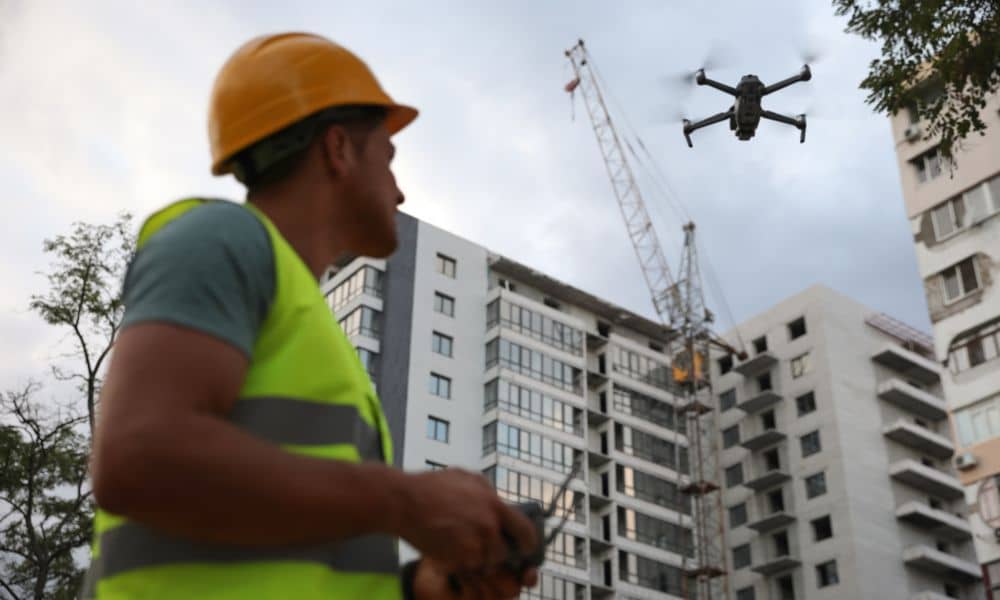
Boston changes fast. New buildings go up, old streets shift, and storms hit harder every year. Because of these challenges, the city now relies more on aerial surveying to map land, understand risks, and plan smarter projects. This method gives clearer data, quicker results, and a better way to protect communities as the weather becomes […]