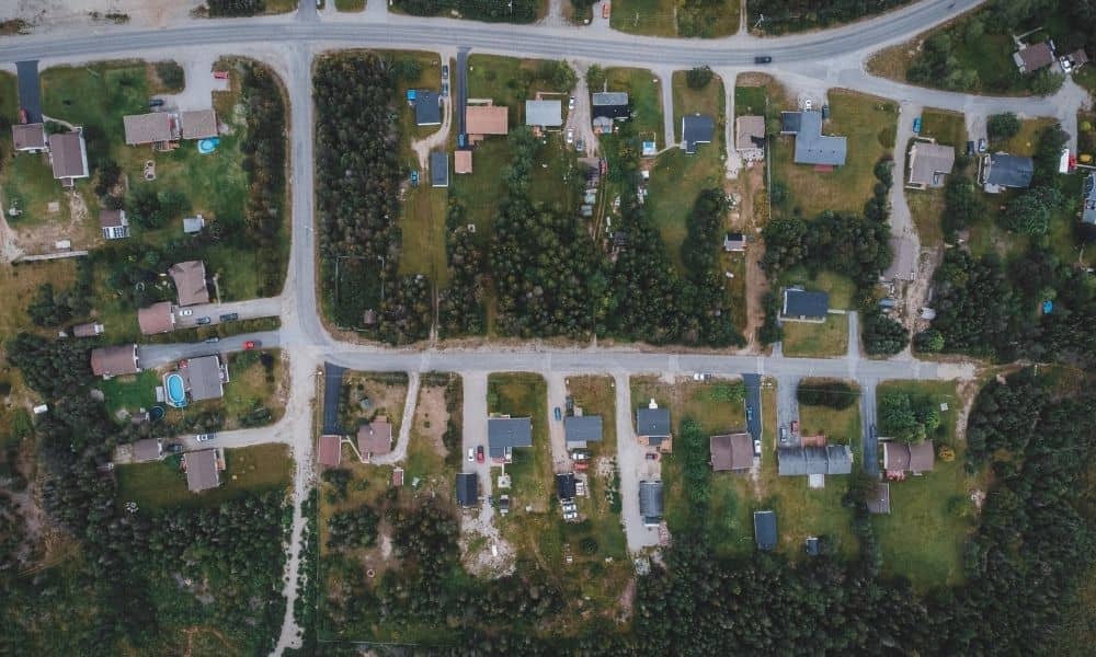
Some lots touch more than one street. You’ll see this on corner parcels, through lots, and older subdivisions where the streets were laid out in stages over many years. A lot with two or three street frontages raises questions that a normal one-street lot doesn’t. Which boundary counts as the “front” for setback rules? Where does the buildable space actually sit? A property survey answers these questions with real measurements instead of guesses. It’s often the first step before buying, building, or changing a lot like this.
Massachusetts has a long history of diverse parcel shapes. Many older towns laid out their lots before modern zoning rules existed. That history means multi-frontage lots come in many forms. You’ll find corner lots, flag lots with a street on each end, and odd-shaped parcels created by road changes over the years. A property survey brings clarity to a lot that might otherwise leave owners, buyers, and builders guessing.
How Multiple Frontages Affect Property Boundary Identification
A lot with more than one street frontage still has the same basic setup as any other lot. It just has more than one boundary line that touches a public street instead of just one. A property survey marks each of these boundary lines on its own. It shows exactly where the property line meets each street.
This matters because towns often use different setback rules depending on which boundary counts as the front yard and which counts as a side or rear yard. On a corner lot, one street frontage might be treated as the front for zoning purposes while the other acts more like a side yard. A survey doesn’t make that call on its own. That’s a decision the town makes. But the survey gives the surveyor and the property owner accurate boundary locations to bring to that conversation.
Older lots sometimes have boundary lines that don’t match current tax maps or old fence lines. A survey fixes this problem. The surveyor checks recorded deeds, older plans, and markers found on the ground. Then all of that gets pulled together into one accurate boundary map.
Reading Survey Information Along Different Street Boundaries
Once the boundaries are set, the survey plan becomes a reference for each street frontage. A property survey usually labels each boundary with its exact direction and length. It also shows any markers found or placed along that line, so a reader can tell which measurements go with which street.
For a multi-frontage lot, this detail helps avoid mix-ups later. If a fence, driveway, or wall sits close to one of the street boundaries, the survey plan shows exactly how much space separates that feature from the real property line. That’s different from the edge of the pavement or a curb, which often sits on public land rather than private land.
It also helps to look at how the plan shows the corner point where two street boundaries meet. This corner point is often a key reference for setback measurements on both frontages. Its exact spot can matter more than it seems at first.
Property Survey Details That Support Site Access Planning
Site access is one of the main reasons owners ask for a property survey on a multi-frontage lot. Having two or more street frontages usually means there’s a choice of where a driveway or entrance could go. A survey backs up that choice with real measurements.
A property survey can show the width and location of each street frontage. It can also show any visible utility lines, curb cuts, or easements that might limit where a new driveway could go. This information is useful when applying for a curb cut permit, since towns often base that approval on sight distance, existing utility spots, and traffic patterns along each street.
For commercial projects or multi-unit housing, access planning gets more involved. A lot with frontage on both a busy road and a quiet side street might work better with the main entrance on the quieter side. A survey gives the accurate site layout needed to check that option with an engineer or site designer.
Why Irregular Lot Geometry Matters During Site Planning
Multi-frontage lots often have odd shapes instead of clean rectangles. Triangle-shaped corner lots, flag-shaped parcels, and lots with angled or curved street frontages are all common results of how roads and subdivisions grew over time.
An odd shape changes how much usable space a site planner can count on. A lot’s total square footage might look big on paper. But once the required setbacks are measured from each street frontage, the space left for building can shrink a lot. A property survey shows the exact shape and size needed to figure out this buildable area correctly. That’s far more reliable than guessing from a tax map or an online parcel viewer.
An odd shape can also affect how a building should sit on the lot. A narrow, angled frontage might not fit a standard building layout the way a square lot would. That’s why the survey’s shape and size details are one of the first things an architect or engineer needs when starting design work.
Using Survey Information During Early Property Due Diligence
Buyers and developers looking at a multi-frontage property benefit from getting a property survey early, before they spend a lot of time or money on a site plan. The survey confirms the real boundaries and frontages. That stops a site design from being built around wrong assumptions that show up later.
An early survey review can also catch problems that might affect the timeline. This could be a boundary line that doesn’t match what the seller described, a feature that crosses over near a street frontage, or an easement that limits building along one boundary. Finding these issues during due diligence gives a buyer time to negotiate, adjust the plan, or walk away, instead of finding out after closing.
For lenders, title companies, and attorneys working on a deal, an accurate property survey also supports title review and closing paperwork. Multi-frontage lots can raise questions about which frontage counts as the legal access point. A survey gives those professionals the boundary and access details they usually need before a deal can close.