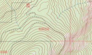
In Boston and across New England, new buildings and land projects are popping up fast. Before a property can be sold, financed, or developed, it needs one key document — an ALTA Land Title Survey. This detailed survey shows property lines, easements, and features so lenders, buyers, and title companies know exactly what they’re dealing with.
The biggest problem today isn’t the equipment — it’s finding enough trained people. Many experienced surveyors are retiring, and not enough new ones are joining the field. A new registered surveying apprenticeship started by DiPrete Engineering and Building Futures in Rhode Island may help change that. It’s the first of its kind in the area and could shape how Boston firms train and hire their next teams.
A Shortage That’s Hard to Ignore
Across the country, surveying firms are having trouble finding workers. In Massachusetts, the challenge is even tougher because construction happens all year. Every major project — from apartment buildings to office parks — needs accurate land data.
For companies that do ALTA Land Title Surveys, the shortage means longer wait times and higher costs. These surveys require licensed professionals who understand both the law and the land. When there aren’t enough of them, schedules stretch and deadlines slip.
The new apprenticeship gives young workers a clear way in — learning from mentors while earning a paycheck. It’s a practical fix for a growing problem.
How the Apprenticeship Works
The program uses a “learn while you earn” model. Instead of starting with college, students work full-time while taking classes.
Apprentices spend:
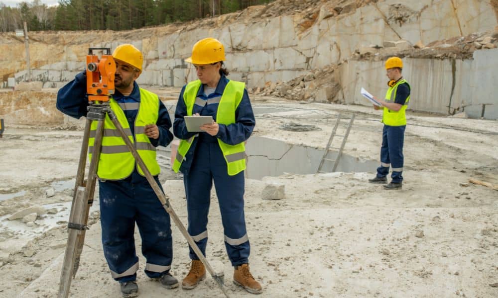
- Around 2,000 hours in the field using GPS and total-station tools.
- About 280 hours in the classroom studying boundary law, CAD drafting, and job safety.
They learn step-by-step how to measure land, record data, and prepare maps under licensed supervision. This mix of fieldwork and lessons builds skills faster than a traditional path.
Why It Matters for ALTA Land Title Survey Firms
An ALTA Land Title Survey is the most complete type of property map. It follows national standards set by the American Land Title Association and the National Society of Professional Surveyors. Every detail — from the lot corners to recorded easements — must be exact.
That accuracy takes teamwork. Senior surveyors handle the legal review, while younger staff collect field data and draft drawings. Apprenticeships help balance that workload. They also reduce burnout among senior staff and shorten project timelines.
In Boston’s fast-moving market, that’s a big plus. When developers or lenders need survey data before a closing date, having a trained team ready can make or break the deal.
How Boston Firms Can Benefit
Even though this program began in Rhode Island, it affects all of New England. Surveyors often cross state lines for projects, and many Boston firms hire from nearby states.
Massachusetts’ Board of Registration of Professional Engineers and Land Surveyors manages licensing. Local companies could partner with MALSCE or schools such as Wentworth Institute of Technology to start similar programs.
This would create a steady stream of trained people who already understand land laws and dense urban conditions. It’s a smart way to keep projects moving and maintain quality standards.
The People Behind the Process

Surveying isn’t just about machines — it’s about skill passed down through experience. Setting corner pins, checking old monuments, and reading historic plats all take practice. Without apprentices, much of that knowledge could fade when older surveyors retire.
Apprenticeships keep that know-how alive. They also attract young workers who want an active, outdoor career that still uses technology. Modern surveying blends both — traditional measuring with new tools like drones and 3-D scanners.
Why Clients Should Care
A strong workforce doesn’t only help survey firms; it helps everyone on a project.
When companies have trained crews:
- Developers get ALTA Land Title Surveys faster for financing and permits.
- Lenders see fewer errors in title reviews, keeping closings on schedule.
- Property owners get clear, reliable data that protects their investment.
Good staffing means better communication, fewer delays, and smoother projects — all saving time and money.
A Smart Step for Massachusetts
Boston has always been known for learning and innovation. This apprenticeship model fits right in. It keeps the profession strong, the standards high, and the doors open to new talent.
With more construction across Greater Boston, the need for ALTA Land Title Surveys will only grow. Building a local team of well-trained surveyors now will prevent bigger problems later.
This approach could also bring more diversity to the field and give students a direct path to steady, well-paid work.
Final Thoughts
The new registered surveying apprenticeship near Boston is more than training — it’s a turning point. For firms that create ALTA Land Title Surveys, it’s a smart way to hire and grow skilled teams.
As more companies follow this example, clients will notice the results: faster service, better accuracy, and consistent quality. In a city built on precision and progress, investing in future surveyors keeps growth standing strong.
