Why Train Derailments Highlight Land Surveying Risks
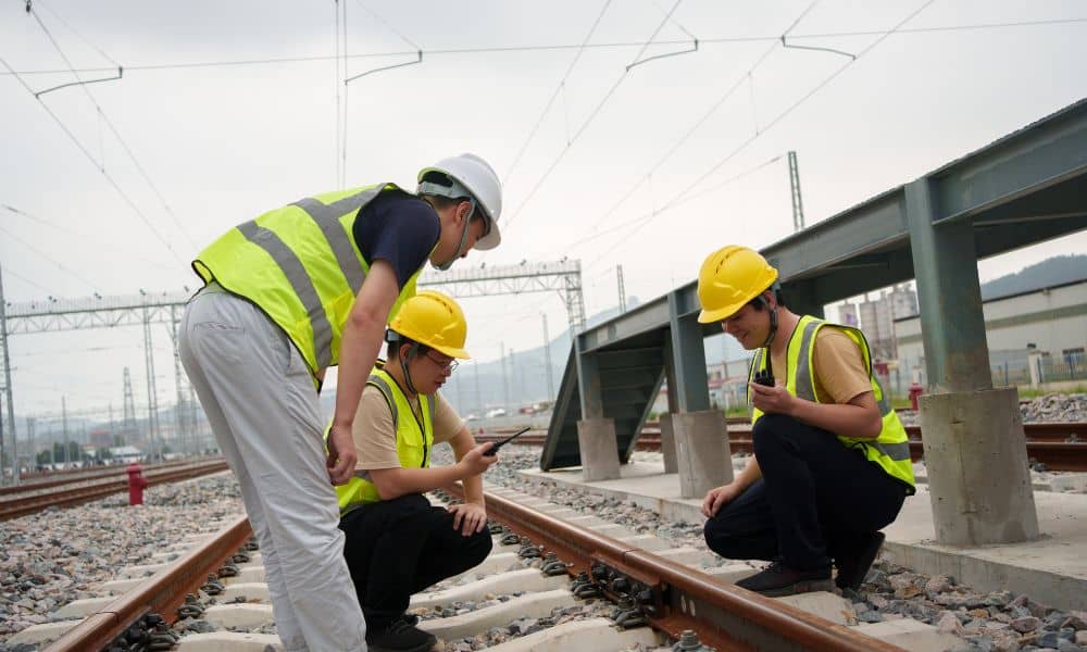
When a train derails, most people think about mechanical failure or operator error. However, very few people think about ground measurement. Yet every rail line, road, and building depends on one quiet layer of protection: accurate positioning and elevation control. That is exactly where land surveying plays its role. Recent transit trouble in Boston reminded […]
LiDAR Mapping: Solving the “One Block Under Water” Problem
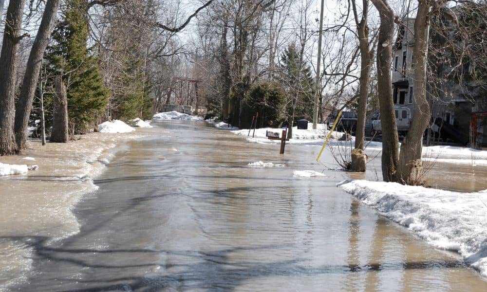
You’ve seen it: a winter storm rolls through, the tide runs high, and one block ends up under water while the next block stays mostly dry. Then the same question pops up: “Why here?” Around Boston, this turns into a winter headache fast. Water pools, then it freezes. After that, you deal with skids, slip […]
Flood Warnings Are Back — Elevation Certificate Savings
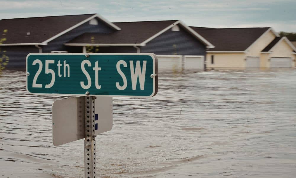
Flood warnings are back in Boston, and once again, homeowners feel uneasy. Storm alerts, king tide forecasts, and coastal flooding news spread quickly across social media and local reports. Even when streets clear fast, the worry lingers. Many people start asking the same question: Is my flood insurance about to increase? In Boston, that concern […]