Why Drone Land Surveying Workflows Are Changing
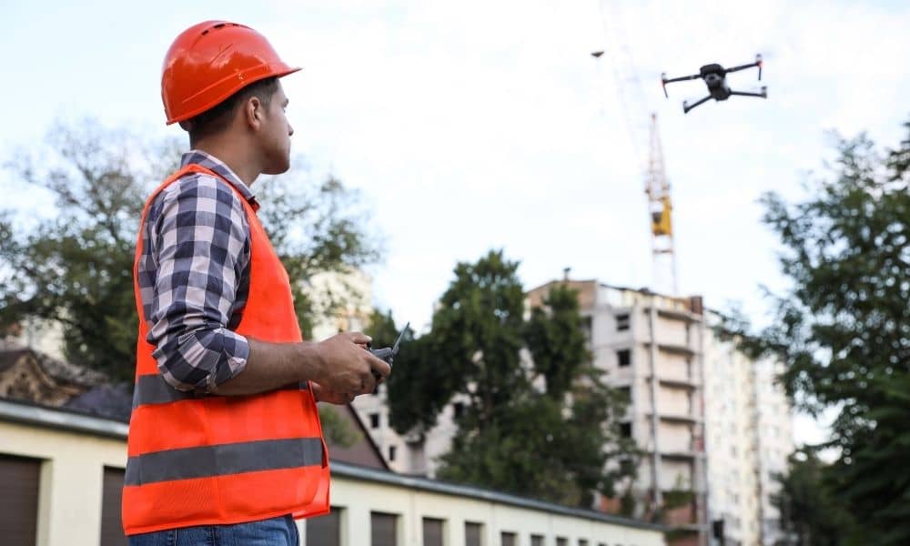
Drone land surveying changed how cities are measured. For years, drones helped surveyors work faster, safer, and with fewer boots on the ground. In dense cities, that mattered a lot. Tight lots, tall buildings, and busy streets made aerial data a smart solution. However, things are shifting. Not because drones stopped working—but because cities are […]