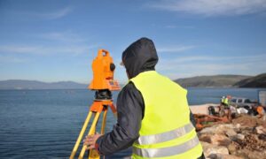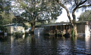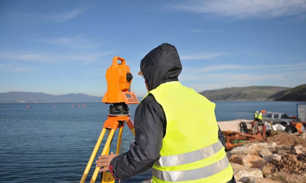
Boston’s coastline is no stranger to storms. Just last week, Hurricane Humberto stayed offshore, but its swell still hit Massachusetts with force. The National Weather Service issued warnings of high surf, rip currents, and dangerous conditions in Mass Bay and Cape Cod Bay. For many, it looked like just another late-season storm rolling past. But for property owners near Boston Harbor, Revere Beach, and the South Shore, the waves brought up a bigger question: do you know where your property stands? That’s where an elevation survey comes in.
An elevation survey measures the height of your land and structures compared to flood levels. It may sound like a technical detail, but in storm-prone Boston, those numbers have real-world consequences. After a major swell, dunes shift, seawalls settle, and drainage paths change. Even if your house stood clear of flooding last season, the ground may no longer match the map. That’s why tying Humberto’s warnings to a fresh look at your elevation data makes sense.
Why Storms Change the Ground Beneath Your Feet
When waves pound the shoreline, they don’t just make for dramatic photos. They physically reshape the coast. At Revere and Winthrop, dunes lose sand. In Dorchester Bay, seawalls face spray and sometimes undermining. Down in Hull and Quincy, back-bay waters creep into low-lying streets. These shifts are subtle but powerful. What looked like a safe grade last year might now be closer to the flood line.
This is where an elevation survey earns its value. Surveyors capture the new “after-storm” conditions—spot elevations around your foundation, driveway crowns, or low backyard swales. With this data, you see whether your property still stands above the Base Flood Elevation (BFE) set by FEMA. Without it, you’re guessing, and guessing can cost you in higher insurance premiums, surprise permit requirements, or future storm damage.
The Best Time to Schedule an Elevation Survey
Timing matters. The days just after a big swell are ideal. The water has pulled back, but the ground still shows what changed. If you wait too long, tides and wind can move sand again, and the evidence gets blurred.
In Boston, surveyors also juggle construction schedules, real estate closings, and seasonal demand. Right after storms, their calendars fill fast. Booking early means you get accurate data before the backlog builds. For properties within a thousand feet of coastal resources, acting quickly is even more important. Every tide cycle can change small but critical details.
What You Should Expect From Your Surveyor
Not all surveys are the same. After a big storm, many homeowners turn to a land survey for elevation needs to get a clear picture of how their property has changed. The deliverable should go beyond a simple sketch. A strong elevation survey will:
- Tie measurements to NAVD88, the vertical standard used.
- Record spot elevations at corners, vents, and grade breaks near the water side of your lot.
- Include photos matched to measurement points.
- Capture extra data needed for a FEMA Elevation Certificate, even if you’re not requesting one now.
That last step saves time. If later you need proof for insurance, a mortgage, or a Letter of Map Amendment (LOMA), your survey is already complete.
How Elevation Surveys Affect Insurance and FEMA Maps
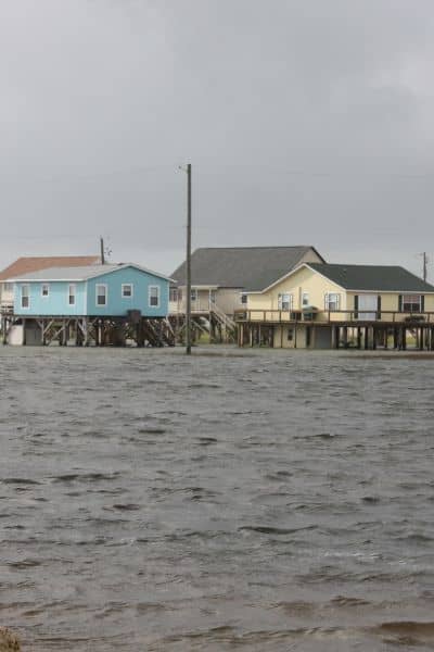
Flood insurance is a moving target. FEMA updates maps, storms reset ground levels, and lenders adjust their requirements. A new elevation survey provides evidence of where your property truly sits today.
If your lowest adjacent grade is higher than FEMA’s flood zone suggests, you might qualify for a LOMA. That change can lower or even remove flood insurance requirements. If fill was placed to raise the grade, the survey supports a Letter of Map Revision Based on Fill (LOMR-F). These aren’t just acronyms—they’re tools to save money and reduce red tape. But without a current survey, you can’t make the case.
Permitting and Coastal Rules in Massachusetts
Beyond insurance, Boston property owners also face state rules. The Massachusetts Wetlands Protection Act and Coastal Zone Management regulations kick in when grades or dunes change near resource areas. If Humberto’s swell is carved into your lot, you might need permits for even small projects like rebuilding a fence or extending a deck. A post-storm elevation survey documents conditions clearly, so you’re not caught in a “he said, she said” with regulators.
Local Examples: Where Risks Are Rising
Each part of Greater Boston has its own challenges:
- Revere Beach and Winthrop Shore: Dune erosion threatens front-yard elevations.
- Nahant: Causeway berm shifts affect driveway and garage thresholds.
- Hull and Quincy’s Houghs Neck: Back-bay flooding alters how water drains around homes.
These aren’t one-time problems. As seas rise and storms grow more frequent, elevation surveys help property owners track how their land responds over time.
Peace of Mind Before the Next Nor’easter
Storms like Humberto remind us that a relationship with the ocean is never calm for long. While the headlines fade after a few days, the ground-level changes remain. An elevation survey bridges the gap between what maps say and what your property actually looks like now.
By booking a survey in the days after a swell, you stay ahead of insurance hikes, permit issues, and unexpected flood risks. It’s not just a document for your file—it’s a safeguard for your investment and your peace of mind.
If Humberto’s waves made you wonder about your property’s true elevation, don’t wait for the next Nor’easter. Schedule an elevation survey this week, while the changes are fresh and surveyors still have room on their calendars.
