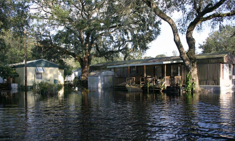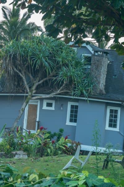
Boston has always been a city shaped by water. From the Charles River to Boston Harbor, the landscape blends old neighborhoods with low-lying land. After the severe storms that swept through Massachusetts in early September—including a tornado in central Massachusetts and heavy rainfall across the city—many homeowners and lenders are asking a new question: Do we need a Flood Elevation Survey right now?
The answer for many is yes. When extreme weather hits, it doesn’t just cause damage. It shifts boundaries, redefines risk zones, and exposes weak spots that only a detailed survey can reveal. And in a city already bracing for rising seas and stronger storms, the demand for surveys has grown almost overnight.
When Weather Redraws the Map
For some residents, September’s storms felt like a wake-up call. Streets flooded faster than expected, fences leaned where they once stood firm, and water found its way into basements that had never seen moisture before. These are not small inconveniences—they are warning signs that property lines, grades, and drainage patterns may no longer match what’s on paper.
A Flood Elevation Survey steps in at this point. Instead of guessing, surveyors measure the actual height of a home or building compared to base flood levels in the area. If storms have shifted the ground, filled in a swale, or eroded soil near a foundation, the survey shows it. That data then feeds into insurance decisions, mortgage approvals, and even construction permits.
Flood Elevation Survey vs. Elevation Certificate
Many people confuse the two, but they serve different purposes.
A Flood Elevation Survey is the fieldwork. Licensed land surveyors come to the property, take precise measurements of ground levels, foundations, and drainage points, and document how water might move across the site.
An Elevation Certificate, on the other hand, is the official FEMA form that lenders and insurers use. It is often based on the survey but is essentially the paperwork. Think of the survey as the examination and the certificate as the report card. After storms like the ones Boston saw in September, it is the survey itself that uncovers new risks. Without it, the certificate is just a snapshot of outdated data.
Boston’s Unique Flood Risks
Not all cities are built on such fragile ground. Boston, however, has layers of vulnerability.
- The Back Bay and South neighborhoods sit on filled land that was once tidal flats. Heavy rain can overwhelm their drainage systems quickly.
- Dorchester and East Boston combine dense housing with aging infrastructure, so water runoff has fewer places to go.
- Along the Harbor, storm surges add another layer of risk.
Even the city’s subway system is a reminder of how serious the threat has become. This September, officials announced a three-day shutdown of the Blue Line to install new drainage and pump systems. If the city is upgrading its flood defenses, property owners should take note.
Signs You May Need a Post-Storm Survey

After the September storms, homeowners started noticing subtle but troubling changes. A fence that seemed straight now leans. A corner marker that was visible last summer sits buried in mud. Water that used to flow toward the street now lingers near the foundation.
Each of these changes hints at a bigger problem. Property lines might not be where you think. Drainage patterns may have shifted. And if FEMA flood maps are updated, your home could suddenly be listed in a higher-risk zone. A Flood Elevation Survey confirms what has changed and gives you solid evidence to use with insurers, lenders, or contractors.
Why Demand Spikes After Major Storms
Storms not only damage property but also trigger a chain reaction in real estate and finance. Lenders may hold back on closings until they see updated survey data. Insurers may recalculate premiums if new measurements suggest a higher flood risk. Homeowners who planned to refinance may find their applications paused until they provide new documentation.
Consider one couple who discovered their home was newly flagged in a flood zone after recent storms. Their lender demanded an updated survey before approving their refinance. Instead of waiting weeks, they called a local land surveying company they had used before and booked a Flood Elevation Survey within days. With the updated data in hand, they secured their certificate before the closing date. That one move saved them weeks of delays and gave them leverage to lock in insurance coverage.
Planning Ahead Before the Next Flood
The lesson is simple: don’t wait for the next storm to uncover risks. Weather is becoming less predictable, and FEMA flood maps are constantly being updated. By scheduling a survey now, homeowners and developers can avoid last-minute scrambles that delay projects or closings.
A proactive Flood Elevation Survey also offers peace of mind. It allows you to identify weak spots in your yard, plan drainage improvements, and document your property’s true elevation before insurers or city officials demand proof. For developers, it ensures that new projects are designed with accurate grade data, reducing costly mid-project adjustments.
Final Thoughts
Boston’s September storms were a reminder that water is always in charge. When it pours, it tests every foundation, every fence, and every basement. For property owners, the smartest move is to respond with facts, not guesses.
A Flood Elevation Survey provides those facts. It shows you where your property stands today, not where maps said it was ten years ago. And in a city where a single storm can shift the rules overnight, that kind of clarity is worth more than ever.
Knowing your property’s true elevation brings peace of mind. A Flood Elevation Survey today can help you feel prepared for whatever the next storm brings.


