Boston is a city full of character — from historic brownstones in Beacon Hill to new buildings along the Seaport. If you’re planning a renovation, managing a construction site, or mapping land for development, you need accurate information. That’s where drone surveying comes in.
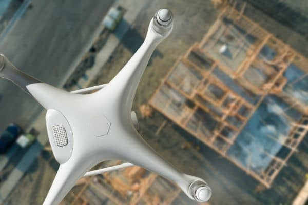
Instead of only using ground crews with measuring tools, licensed surveyors now use drones to capture clear, high-quality images and measurements from above. In a busy city like Boston, where space is tight and the weather can change fast, drone surveying is often faster, safer, and more affordable than traditional methods.
Why Drone Surveying Works Well in Boston
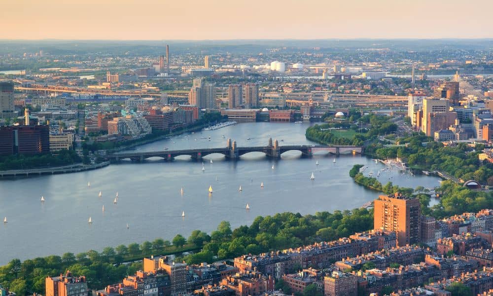
Boston’s streets and properties are not always easy to work with. Narrow alleys, uneven ground, and buildings close together can slow down traditional surveys. Drones can fly over rooftops, scan along the Charles River, and collect elevation data over the Harbor Islands — all in less time.
Fast doesn’t mean less accurate. Drones with GPS and LiDAR technology can gather data that meets the strict standards needed for building permits, engineering plans, and legal property records.
Real Advantages for Your Project
Imagine you bought land in South Boston and need updated elevation data for your site plan. Walking the property could take hours and disrupt traffic. A drone surveyor can map it in minutes, process the data, and deliver a 3D model ready for your design team.
Or maybe you’re working on a project near the Charles River. In flood-prone areas, you need exact measurements for compliance. Drones can collect this data without risking safety.
For larger projects in Dorchester or East Boston, drones can also track progress over time. Regular aerial surveys give you a clear view of every stage of construction without sending crews on-site each week.
How Drone Surveying Works
A professional drone survey in Boston starts with planning. The surveyor checks property boundaries, looks for no-fly zones near Logan Airport, and sets a flight path for full coverage.

Once in the air, the drone takes hundreds of overlapping images and, when required, performs aerial LiDAR surveys in Boston to capture highly accurate elevation and mapping data. Special software then combines this information into maps, elevation models, or 3D site views. The surveyor reviews the data to make sure it meets your needs before delivering the final report.
Why Local Knowledge Is Important
In Boston, drone surveying isn’t only about the technology — it’s about knowing the city. Local surveyors understand seasonal challenges, like snow in the winter or haze in the summer, and plan flights for the clearest images.
They also know the rules for historic districts and waterfront areas. Some projects need more than basic measurements — they require reports that meet city and state standards.
Working with a Boston-based surveyor means fewer surprises and results you can use right away.
The Bottom Line
Whether you’re restoring a historic building in the North End or starting a new project in Allston, drone surveying can give you faster results, fewer delays, and the accuracy you need to move forward. The technology is ready, the benefits are clear — all you need is expert land surveyors in Boston who know the city as well as they know their drone.
FAQs
1. Is drone surveying legal in Boston?
Yes — if done by a licensed surveyor who follows FAA rules and local laws.
2. How accurate is drone surveying?
With the right tools, it can be as accurate as traditional surveys.
3. How fast can I get results?
Many projects are finished in a day, with results ready in a few days.
4. Can small properties use drone surveying?
Yes. Even small city lots can benefit from the detail drones provide.
5. Does weather matter?
Yes — clear, calm days are best for high-quality results.


