Protect Your Property With an Elevation Survey Post-Storm
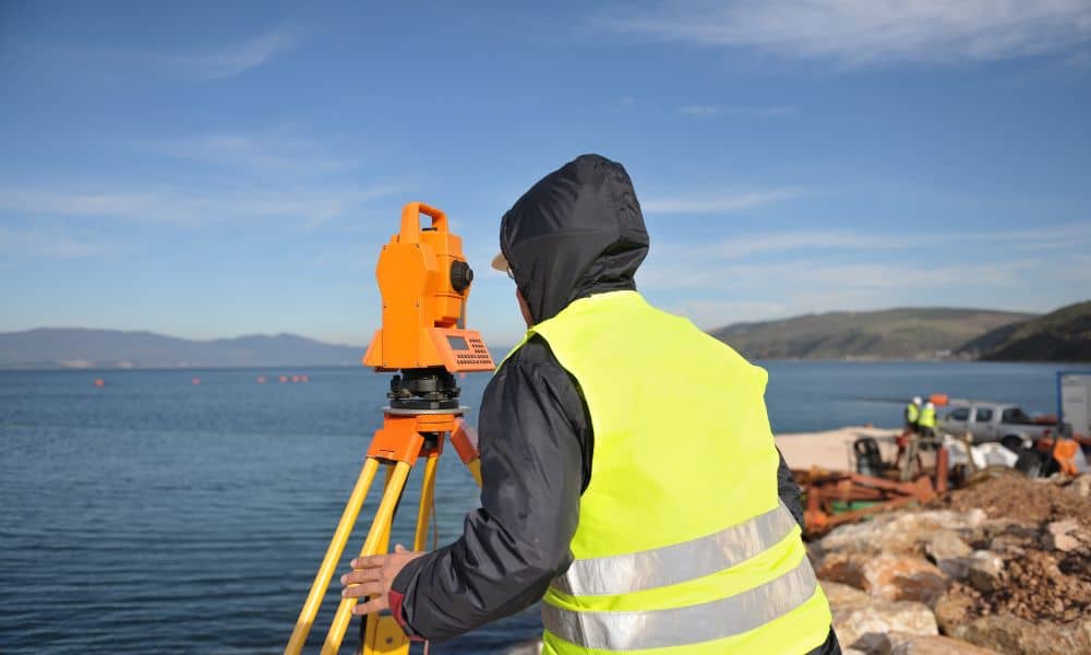
Boston’s coastline is no stranger to storms. Just last week, Hurricane Humberto stayed offshore, but its swell still hit Massachusetts with force. The National Weather Service issued warnings of high surf, rip currents, and dangerous conditions in Mass Bay and Cape Cod Bay. For many, it looked like just another late-season storm rolling past. But […]
Property Survey After Storms: Protect Against Disputes
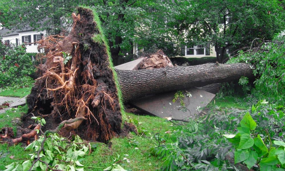
Massachusetts weather can surprise even longtime residents. Just this past week, the National Weather Service confirmed five tornadoes in MetroWest towns like Paxton, Holden, Berlin, and Stow. For many homeowners, the damage went far beyond downed trees and missing shingles. Uprooted roots tore through fences, stone walls shifted, and survey markers disappeared under debris. When […]
Drone Land Surveying vs. iPhone 17 Pro Scans

Boston’s rowhouses are full of charm, but they also bring big headaches when it comes to measurements and planning. Narrow alleys, basement corners, and shared walls make every inch matter. That’s why drone land surveying has become such a useful tool for engineers, architects, and homeowners here. But with the new iPhone 17 Pro getting […]