When a construction site turns into chaos—like the recent crane collapse and fire near UMass Amherst—one question always comes first: what happened, and how do we rebuild safely? That’s where a construction survey comes in.
A licensed land surveyor might not wear a fire helmet or carry a rescue tool, but their role is just as critical after a disaster. They measure, map, and record every shift in the site’s layout so that engineers and builders can rebuild on solid ground—literally.
The Quiet First Responders of Construction
When a crane tips, a foundation cracks, or a fire damages part of a structure, the site becomes unstable and unpredictable. Firefighters and safety officers clear people out—but someone still needs to assess the land itself.
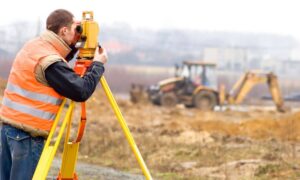
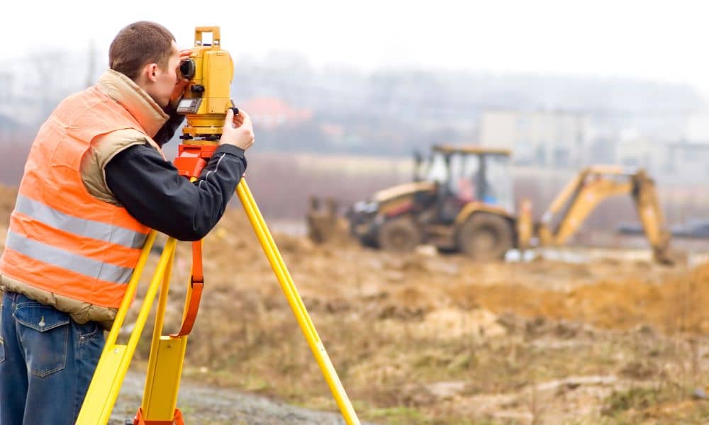
Surveyors step in as the “quiet first responders.” They arrive with total stations, drones, and laser scanners instead of sirens. Their job is to make sense of the scene before cleanup begins. Every burned beam, tilted wall, and shifted footing holds clues about how to rebuild—and how to prevent the same mistake again.
In Amherst, emergency crews worked through the night to contain the blaze, while nearby roads were closed for safety. Within hours, survey teams likely started documenting the damage. Those early measurements become the foundation for everything that follows: insurance claims, repair plans, and redesigns.
Without that precise data, rebuilding becomes guesswork—and guesswork is dangerous in construction.
Why Speed Matters
After any disaster, time works against accuracy. Heavy equipment will soon clear debris. Excavators will level surfaces. Once that happens, the evidence of what went wrong—and what’s still safe—disappears.
That’s why the first 72 hours after a site incident are critical. A licensed surveyor’s quick response ensures nothing is lost. Using drones, GNSS, and laser scanners, they capture the site’s current state from every angle before anything moves.
Those images and coordinates help engineers see exactly where cracks spread, how far the ground shifted, or whether nearby structures were affected. The data also protects everyone involved. Contractors, property owners, and insurers can all rely on one verified record of the site’s condition.
In short: if the first responders protect people, surveyors protect the truth.
From Chaos to Coordinates
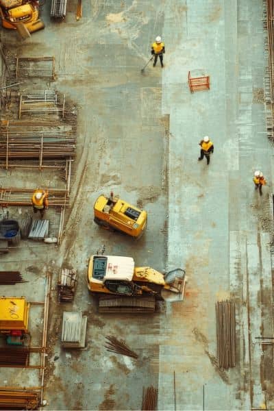
A modern construction survey isn’t about wooden stakes and tape measures anymore. Today’s surveyors build digital replicas—3D “twins” of damaged sites.
Here’s how it works:
- Drone flights capture aerial photos of the entire area.
- LiDAR scanners record millions of precise distance points in minutes.
- GNSS and total stations tie everything to exact coordinates.
The result? A full digital model showing the site’s shape, slope, and structural shifts. Engineers can then compare it to pre-disaster plans to spot misalignments or movement.
For example, if a crane collapse pushes a retaining wall just two inches off line, that small shift could mean major safety risks later. A survey identifies it before reconstruction begins.
This process also supports insurance investigations. A timestamped 3D model proves exactly what damage existed before cleanup. It’s objective, measurable evidence—no debates or memory gaps.
The Value of Accuracy in the Aftermath
Accuracy isn’t just about neat drawings—it’s about safety, cost, and credibility.
Imagine rebuilding a section of a high-rise without confirming if the foundation shifted during the accident. Even a small error could cause new cracks, failed inspections, or another collapse down the road.
A professional survey provides verified reference points that everyone on the project can trust. Engineers can recheck alignment. Inspectors can confirm compliance. Insurers can process claims faster because the data is already documented.
In Massachusetts, where dense neighborhoods and tight building codes leave little margin for error, that accuracy means peace of mind. It shows that every inch of the rebuild starts with verified ground truth.
Lessons for Builders
The Amherst collapse may have happened outside Boston, but it carries lessons for every contractor, developer, and engineer in the city.
Boston’s skyline is growing taller. The city recently relaxed height restrictions downtown, leading to more cranes, more excavation, and more complex builds. That also means more risk.
If an accident happens on a busy city site, the recovery process is even harder. Streets close. Utilities get affected. And delays can cost thousands of dollars a day.
Having a licensed surveyor ready to respond is no longer optional—it’s smart project management. With the right survey partner, you can mobilize documentation teams immediately, capture the site, and get approval to resume work sooner.
Fast, accurate data reduces stress when the unexpected happens. It also proves that your company takes safety and accountability seriously—something both clients and city regulators respect.
How to Prepare Before the Unexpected
While disasters are unpredictable, readiness isn’t. Developers and general contractors can plan ahead by:
- Pre-authorizing a surveyor for emergencies. Having someone on-call means faster response and fewer delays waiting for approvals.
- Keeping site control data off-site. Backup coordinates help restore reference points if equipment or files are lost in an incident.
- Integrating drones into your risk plan. Drone imaging can document every stage of a build, making post-incident comparisons easier.
These small steps save huge headaches later. When something goes wrong, the surveyor already knows your site layout, project benchmarks, and permit data. That speeds up the reconstruction timeline and ensures compliance with city requirements.
Turning Disaster Into a Roadmap for Recovery
Rebuilding isn’t just about new materials—it’s about understanding what changed. A licensed land surveyor provides that understanding through a precise construction survey that maps every contour and coordinate after disaster strikes.
Their measurements restore order where chaos once was. Their data helps engineers design safer structures. And their speed keeps projects moving forward when every hour counts.
In the end, no construction site is completely immune to accidents. But with a trusted surveyor ready to respond, you can turn setbacks into blueprints for recovery.
So, when the next headline flashes across the news—crane down, wall collapse, or fire on-site—remember the professionals who quietly rebuild the map before the rebuild begins. Their work doesn’t make noise, but it makes progress possible.
